Topographic
Survey
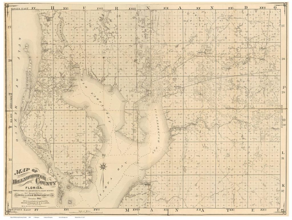
A topographic survey depicts contours of a parcel of land either by contour lines or grid elevations. Its major purpose is the determination of the configuration (relief) of the surface of the earth (ground) and the location of natural and artificial objects thereon.
If you are in need of Topographic surveying services please CONTACT US for a free quote.

